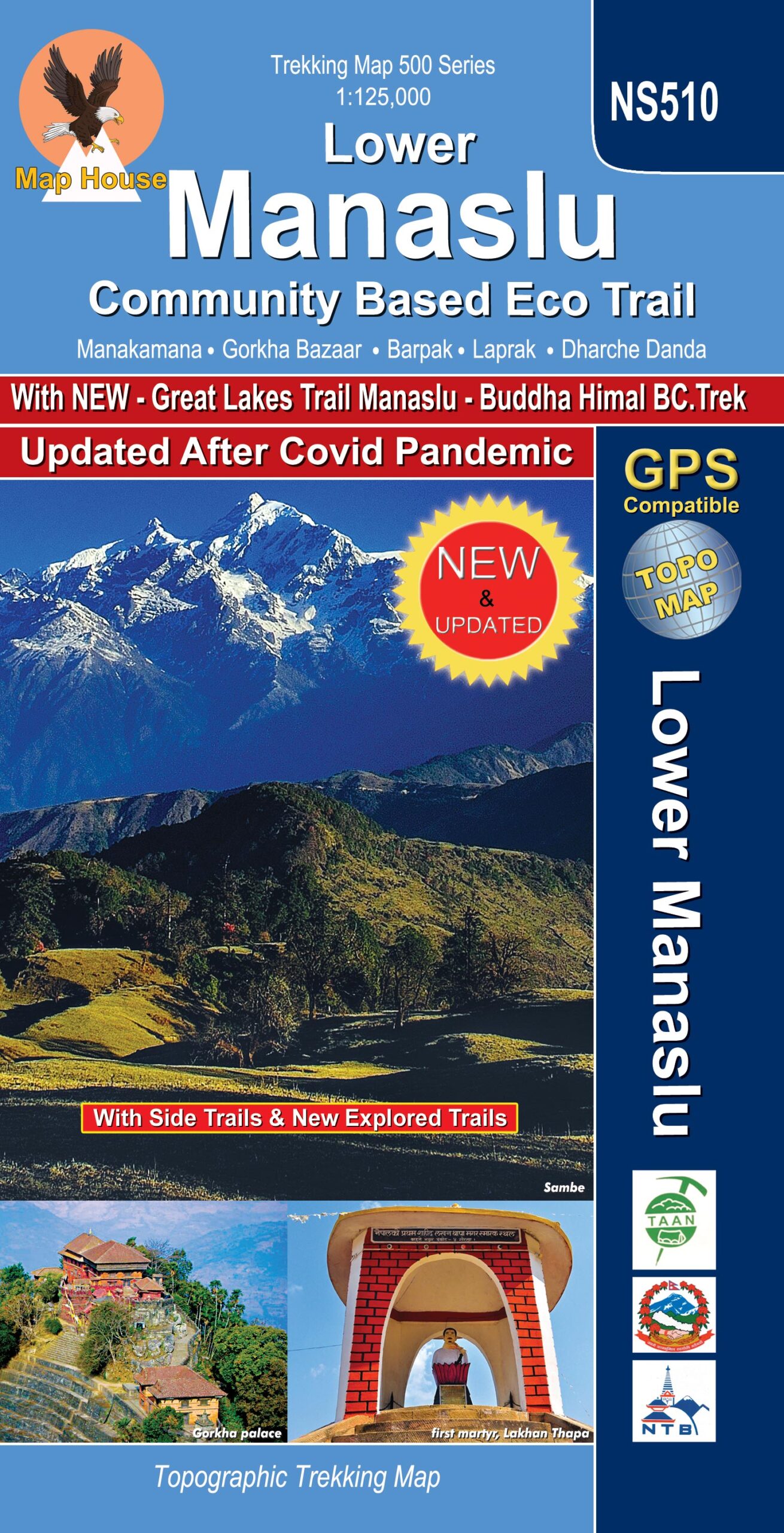
Lower Manaslu Community Based Eco Trail
Edition: October 2023
ISBN: 9789937577151
Title: Lower Manaslu Community Based Eco Trail
Subtitle: Community Based Eco Trail
Scale: 1: 125,000
Longitude: 84° 10′ – 84° 22′
Latitude: 28° 00′ – 28° 47′
Altitude Range: 760m – 4930m
Difficulty: Moderate
Days: 7 – 21
Organization: Individual
Route: Gorkha, Arughat, Barpak, Laprak, Liding, Machha Khola, Jagat, Lokpa, Chumling, Chhokangparo, Mu Gomba, Ngku, Gomba Lungdang, Ripchet, Pewa, Bihi, Syarang, Serang,, Prok, Bihi, Phedi, Lihi, Syala, Samagaon, Samdo, Dharmasala, Bhimthang, Dharapani, Chamchet, Besisahar
2 comments on “Lower Manaslu Community Based Eco Trail”
Chiara June 15, 2018 at 7:37 am
I would like to buy this map to be shipped to Italy. Could you give me full details?
Thanks
Chiara tesi
Florence
Italy
Deb Elliott August 7, 2014 at 2:38 am
Good Afternoon
I would like to purchase a map of the Lower Manaslu Community Based Eco Trail as we plan to do a trek in this region in April next year. I’m in Australia and the supplier doesn’t seem to have the map.
thank-you