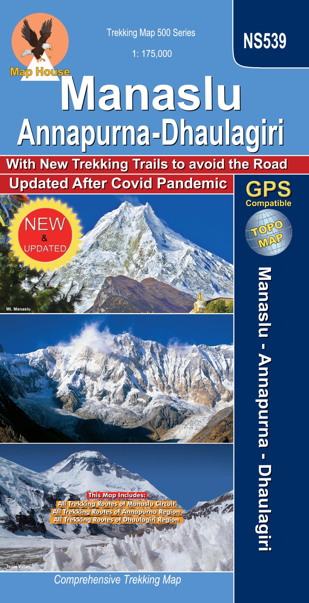
MANASLU ANNAPURNA DHAULAGIRI TREK (MAD TREK)
Edition: November 2024
ISBN: 9789937783934
Title: MANASLU ANNAPURNA DHAULAGIRI TREK
Subtitle: MAD TREK
Scale: 1: 175,000
Longitude: 84° 10′ – 84° 22′
Latitude: 28° 00′ – 28° 47′
Altitude Range: 760m – 5416m
Difficulty: Moderate/Strenuous
Days: 14 – 28
Organization: GROUP
Route:
2 comments on “MANASLU ANNAPURNA DHAULAGIRI TREK (MAD TREK)”
Madan Neupane December 23, 2024 at 12:15 pm
“The MANASLU ANNAPURNA DHAULAGIRI TREK (MAD TREK) map is a fantastic resource for adventure seekers exploring these iconic trekking routes. With its detailed scale and coverage of altitudes from 760m to 5416m, it’s perfect for both experienced trekkers and those planning their first high-altitude trek. The inclusion of longitude, latitude, and difficulty levels adds clarity for navigation and preparation. As someone passionate about trekking in Nepal, I appreciate tools like this that help promote our trails and ensure trekkers are well-informed. Great work, Nepal Map House!”
Maphouse May 12, 2025 at 7:08 pm
thanks